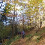
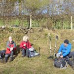
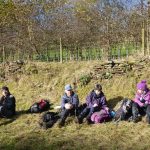
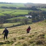
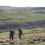
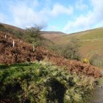
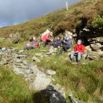
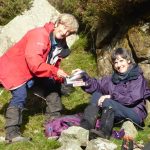
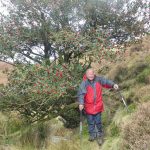
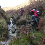
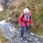
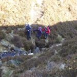
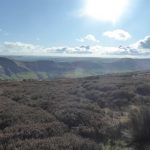
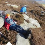
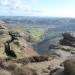
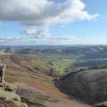
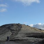
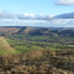
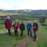
Welcome blue sky accompanied us for much of the walk up Porter Brook and into the wind towards Whitestones above Redmires reservoir. Towards the high point we had a break in the shelter of a wall, before the usual often boggy path down to the reservoir. Here we temporarily mislaid one member of the party who had strode ahead and importantly was carrying someone else’s sandwiches. Luckily person and sandwiches rejoined the party later and before lunch by Wyming Brook. A diversion down the delightful path alongside the brook to Rivelin reservoir was almost immediately followed by a path back up the hill to the three Merry lads where surprisingly, we mislaid no one. A short stretch of beech wood led to Redmires conduit and back to the start. Much tea and various food contributions were then consumed at my house by 15 (off and on) walkers, I think 5 mountain bikers (who mentioned burbage and longshaw and 28miles but not sure where else they got to), and another 8 or so who came to join in the social tea drinking event and help eat the mince pies. Thanks to all for your company, your help serving tea and your food contributions. A very socially occasion. Happy Christmas!
Marian
All posts in Meet Reports
Sunday 26th Nov 2017 walk report
8 members assembled at the car Park in Low Bradfield and were soon ascending the hill to High Bradfield .After traversing below Agden Rocher we descended Agden side to Agden reservoir where adjoining benches were utilised for a short T stop.
Moving on we rounded the end of the reservoir,but the meet leader,engrossed in conversation missed the required turn off.Worse was to come when he discovered that he had brought the White, not the Dark Peak, map.Undaunted the meet leader forged a way up the bank through virgin forest to reach the road pretty close to the missed path.
Taking advantage of the new path across Win Hill we were soon by the Dale Dike .This was to have been where I, as meet leader, turned back and handed over Kathy Burgess.However, feeling no hernial discomfort and with Vanda’s assurance that “everything must have healed by now” I decided to continue.
Forsaking the usual reservoir path we followed Hall Lane to the impressive Hallfield mansion stopping for lunch just beyond with panoramic views of Dale Dike,High Bradfield and beyond.
Lunch over we continued to the rather dilapidated and boarded up building named Brogging where one walker looked for a discreet area nearby to relieve himself only to be greeted by a loudspeaker alarm announcing that he had been recorded on CCTV and the police informed!
We sped hurriedly on below the Strines reservoir and turned back for Low Bradfield with increasing showers and some “mudness”to use Martin’s terminology.
An enjoyable round totalling 9.4 miles in good company in generally good conditions-but best of all ,my hernia repair survived unscathed!
Mike Doyle
Report on Sunday 12th November 2017 walk from Eyam
Missing the first turn-off, only a very short distance from the free car park in Eyam, didn’t bode well for the rest of the day on this [as usual] un-recce’ed route, especially as all eight of us had noted that this car park had its gate locked at 5pm, but after a slight detour we were soon back on track again. Skirting Eyam Moor, we stopped for 2 minutes silence at 11am and the nearby clay-pigeon shooters thoughtfully did the same. Then down to Stoke Ford and the second unplanned deviation of the day, up a muddy Abney Clough, briefly stopping for a coffee break on a sunny bank before Abney. Perhaps the meet leader needn’t have admitted her mistake in route finding, as again very shortly we were back on the correct path on Abney Moor. The views were stunning, including, rather surprisingly, being able to see through folds in the hillsides, the viaduct over Ladybower reservoir, gleaming white in the sunshine. Lunch was taken in sunshine in the protective lee of a dry-stone wall, entertained by two low flying gliders from the nearby gliding club [more brownie points?]. The views continued to be quite amazing, before we dropped down to pass an old pumping station surrounded by a quagmire of mud, safely negotiated with no-one falling over. Then through Great Hucklow and many fields and stiles, passing south of Silly Dale and Foolow, to join Tideswell Lane and back to Eyam after 5 hours 40 mins and 11.9 miles [according to Sean’s GPS] to safely retrieve our cars in good time. After a very brief discussion, five of us decided that afternoon tea was a good idea, so Marianne directed us to the best tea shop in Eyam with the most delicious cakes imaginable. A fitting end to a most enjoyable day – thank you Marianne, Chris, Sean, John, Hugh, Frank and Jenny for your good company.
Vanda Boyd
Vanda’s pictures (click on the thumbnail for a larger picture):
Sunday 5 November 2017 Edale meet report
On a glorious sunny and quite warm morning, 7 of us assembled, in various states of health, in Edale, [taking advantage of the free car park] before wandering through the fields to Nether Booth and along to the foot of Jagger’s Clough. This surprisingly little-used path took us gently upwards for a while until we went into full ‘Thursday Walk’ mode and stopped for elevenses where Vanda handed round pie which had been intended for last Thursday’s anniversary party which she was too ill to attend. This appeared to be a good move as we were soon on our way again up the steeper bit. Unfortunately the stream was rather too full to make use of the full scrambling opportunities usually available, although some were unavoidable and towards the top the meet leader was determined to sample a few of the pleasures of wet rock etc.
We then turned West and wandered along to Ringing Rodger where a lovely sheltered and comfy lunch stop was taken, before traversing along the edges, where many tales of previous epics on the climbs below were recounted.. Along the way we met Jez and Tracy walking in the opposite direction. By this time, at least one member was feeling the effects of age and illness and wondered which way we were to descend, but she was talked out of Grindsbrook and ‘encouraged’ over Grindslow Knoll before returning to Edale with the rest of the party, which promptly split into ‘pub’ and ‘not pub’ sections. The pub section had a swift pint, courtesy of Mr Crowther before returning to the car just as the sun slipped down behind Brown Knoll and the gps registered 10.0 miles. Perfect!!
Paul Gibson
Photos by Vanda (click on a thumbnail for a larger version):
Bryn Hafod hut meet 6-8 October 2017
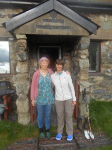
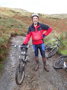
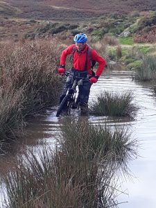
Nine of us made it to the wilds of mid-Wales and had a great time biking and walking, with a communal meal on the Saturday night.
It was wet on Saturday morning and four chose a tough cycle including over a kilometre at 1 in 4. The other five walked from the hut in the Arans.
Somehow (Facebook but don’t tell) we found out it was Hugh’s birthday so we had sparkling wine to go with our appetizers. The birthday cake proved too much and was left until Sunday before being eaten.
Sunday proved a slightly better day so three cycled and three set off to walk in the Arans again. David and John talked themselves into going climbing. After finally getting to the start of their route, they were fingering the wet rock when they felt moisture on the back of their heads so turned to see low cloud approaching – decision to retreat made. After stashing the climbing gear they too went for a walk up the Arans, meeting the other three coming the other way. Continuing, they reached the summit of Glasgwm and shortly after used John’s compass for a bearing in the mist. The results were perplexing so steps were retraced to the summit to take some test bearings. These proved that the polarity on the compass had reversed! Test your compasses!
The hut is great with it relative isolation and short walk from the car park improving the experience. The giant sized Jenga game proved a great hit on both nights. Bill used his engineering experience to great effect, although it did not stop the tower collapsing on him on one occasion. Looking through past copies of the Hut Register from the 1990s on we found three previous CMC visits, although David is convinced there was another in 1994.
Present: David, Linda, Sue M, Bill, Mary, Hugh, John H, Dave C, Gavin.
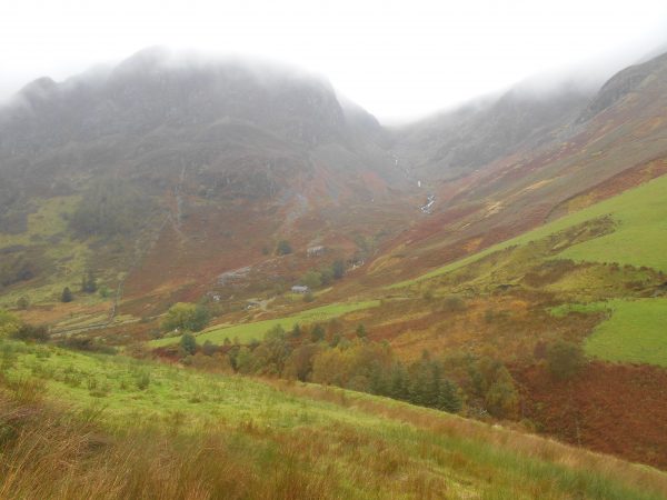
Bryn Hafod
Sunday 15th Oct 2017, Paradise at Stanage
Good turn out for a day in the Paradise area. Morning murk metamorphosed into afternoon sun, but still with a nippy breeze on top. The usual suspects were climbed, with a few ascents – and a couple of non-ascents of ‘the billiard buttress inner expedition’. Size matters!
Geoff Nichols
Roaches walk, 8th Oct 2017
Whilst others enjoyed the isolation and tranquillity of Bryn Hafod, six of us gathered below The Roaches for a canter around Ramshaw Rocks, Gib Tor, Gradbach, Dane Valley, Hangingstone and Roach End before finishing along the rocky crest of The Roaches in low cloud. Few others were encountered along the way except around the Scout Camp at Gradbach and along the final ridge where , somewhat bizarrely, we met a party of three descending in the mist from the trig point, casually dressed and carrying a white suit bag and a wooden stepladder. Despite the often grey sky we remained largely dry though the going would have to be described as ‘soft’ for much of the way. As always the Dane Valley was beautiful, lacking only a little sunshine to reveal its full glory. True to form the walk came in at 13.7 miles rather than the advertised 12 which I can blame entirely on the guidebook from which I lifted the route.
Steve W
Peak District Boundary Walk – 30th September – Final Stage report
A party of 15 and 2 dogs alighted from the train at Whaley Bridge station and immediately made for the very small passenger shelter in order to don waterproofs. We made our way out of Whaley towards Toddbrook Reservoir and to the tiny hamlet of Taxal. A walk beside the River Goyt followed, to the wall of Fernilee Reservoir where the party was momentarily distracted by several cars of various shapes and sizes awaiting the start of a local hill climb. The rain abated as we made our way alongside the reservoir and when we reached the wall of Errwood Reservoir the sun was shining. Here we stopped for a late coffee/first lunch and were joined by Elen and Scout, who preferring a more energetic start to the walk, had caught a train an hour later than the main party. A gradual climb followed until we reached the old railway line which contoured round the hillside affording good views of the Goyt Valley. A second lunch was taken in the shelter of a wall, before our last climb to Beet Wood. With Buxton spread out below us all that remained was a gradual descent across a waterlogged golf course and a stroll through Serpentine Gardens to the official start/finish of the PDBW in the old market square. As the heavens opened once again we posed for a photograph on the ancient cross. Several members decided to head for home a this point whilst the rest, joined by Charles, enjoyed a meal in the King’s Head.
Thanks to all who came.
I would like to thank everyone who has supported this challenge during the summer, either on foot or by providing transport. The first Stage was walked on the 7th June, and collectively 115 people and 3 dogs have taken part since then. 32 individuals have walked the various Stages, covered 190 miles and climbed 24,903 feet, which is only 4125ft less than the height of Everest! Thanks again to all.
Sean.
Report on Wharncliffe climbing meet on Sunday 24th September 2017
An excellent and satisfying climbing meet at Wharncliffe today. Four climbers gathered at the allotted time on Station road, below Stocksbridge, to walk up through the beautiful woods and sludgy tunnels to the top of the crag, soon to be joined by two others and their dog. We all then became reacquainted with the challenges here – steep fingery climbs, which all seemed rather hard for their supposed grade, and the area below the crag completely covered with piles of huge rocks, which made for slow progress along the bottom when looking for the climbs we wanted to do next. But the sun shone warmly, climbs were ticked off in the Cheese block and Great Buttress area, before a decision was made late afternoon, to have a look at the classic ‘Puttrell’s Progress’ and so round off the day properly. Gordon Tyrrall bravely led this with much squirming, grunting and heavy breathing, allowing 2 others to follow in similar fashion. So we left the crag suitably tired, and full of admiration for those talented climbers from earlier times, with their very minimal gear.
Vanda Boyd
PDBW Langsett to Bradfield Report 3 Sep 2017
Seven walkers and two cyclists met on Sunday 3 September at Low Bradfield. Having bid cyclists farewell for their hilly tour of various surrounding valleys, we ferried the required cars and walkers and then set off from Langsett Reservoir,. The pace was brisk to match the gusty wind . We headed through pockets of woodland and forestry rich with tasty and very ripe blackberries, but alas not enough time to pick them. We then skirted Midhope Reservoir to emerge on the edge leading to our lunch destination. We stopped for a late morning refreshment, admiring the views down into the Ewden Valley, before challenging ourselves to stand up from ground level without hands. Two members were successful but aided perhaps by sloping ground. Onward to Bolsterstone where the cyclists had just arrived. Lunch took place in the churchyard and a quick visit inside the church followed, to admire the stained glass windows. Entertainment was provided by folk attempting headstands. But remember too long upside down can play havoc with balance and walking skills!
The afternoon stage continued down in to the Ewden valley and in between Broomhead and Morehall Reservoirs. A slight detour here involved a half mile u-turn before we huffed up the other side of the valley. We passed some old quarry workings before descending into High Bradfield. Another slight detour ensued here which meant that we had to complete more unwanted down and up with an even more unwanted wasp sting. The finale of the walk involved a steep descent into Low Bradfield and an unfortunate argument with a dog who didn’t like sticks. Glad to say everyone arrived back at the car park in one piece.
Overall an interesting and varied route. The usual ambiguous route description in the book led to various unanswered questions along the way. For example: When is a wide path a track? But this dilemma, at least, led to the most imaginative list of track adjectives, that I have heard for a long time. 11.8 miles completed on the day and ascent of 1346+ feet or 410+m. Thanks to all who came.
Ali

