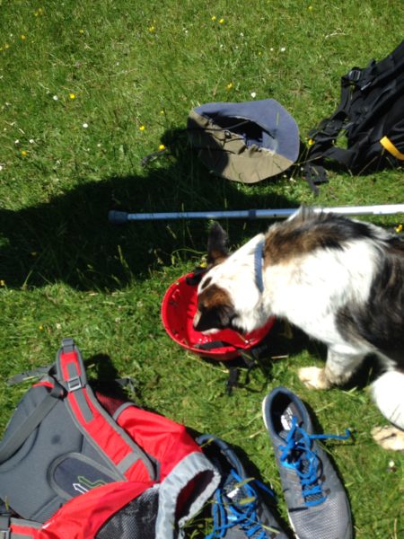
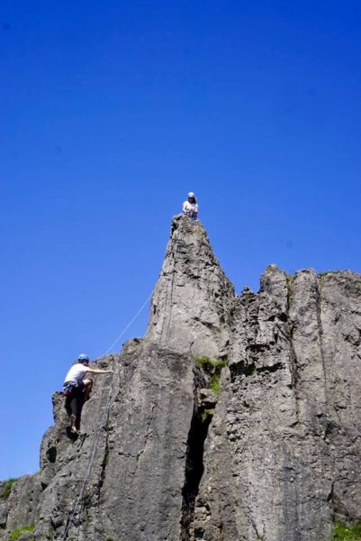
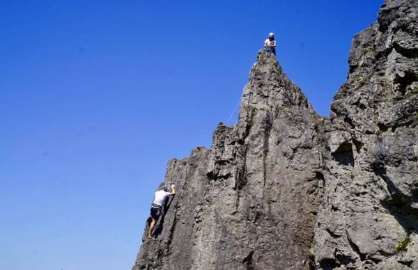
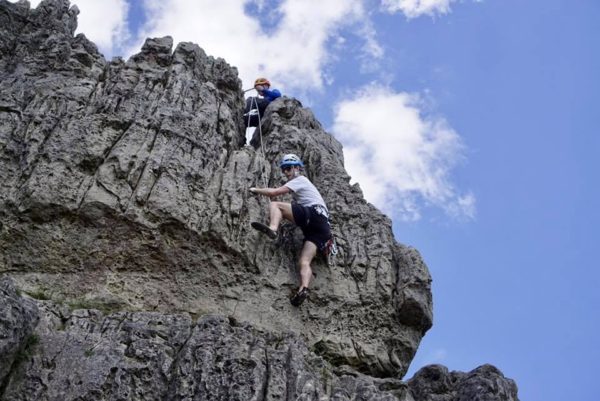
Harborough was glorious in the sunshine with a lovely breeze to keep the midges away. Six of us started at the cave area with one person insisting climbing was good post op physiotherapy!! We bobbed up and down lots of low grade climbs and potential new comer David even started leading on his first outdoor meet under Nigel’s care and guidance. Dawn learned to trust those slippy footholds after experiencing limestone for the first time but the heat finally beat us and by half four we were enjoying a cool beer garden and an even cooler beer.
Helen
All posts in Meet Reports
Castle Naze Meet Report 11th June 2017
Good turn out on a massively windy day so Castle Naze not the ideal spot. After initial debate at car parking re venturing up there we braved the elements and went forth. We found John and Kathy, new members already up there leading the way. Perhaps we need to toughen up! As the wind increased some hardy souls remained whilst the rest made our way to Alderney. Peace! However rained off just after 3pm. Cheers to all and I reckon still a good day out.
Mary
Sunday walk June 4th 2017 report
The meet leader was the last to arrive at the Birchin Clough layby, finding Ali M, Chris K, Marianne and Sean already there. We were away just after 10, heading down into the woods of Lady Clough. The path beside the stream there is lovely, both in the woods and when it emerges at the NW end.Two culverts under the A57 gave Ali an idea for a scramble, then we had a slightly awkward climb over the road barrier to cross to Upper North Grain. The little-used path took us to a derelict shooting cabin, where we snacked before heading N toward Grains in the Water. We were surprised to meet a walker in this normally deserted section of moorland, but he headed SE while we meandered roughly parallel to the growing Alport stream.
Despite a brief shower, the decision was made to take a longer route involving a descent to the stream, crossing and ascent up the NE side. Another group decision half a mile on not to recross the stream resulted in lunch in the sunshine by the moated Alport trig point, surrounded by cotton grass and excellent views.. On we went to Alport Castles , where light rain started, then down and along the vehicle track until we could take the old Roman road back to the cars. A bout of heavy rain dampened enthusiasm a little, which may be why one member tried to divert toward the Snake Inn. Regrouped, we headed on through the felled plantation to the track back to Birchin Clough and the cars.
Despite some wet, a nice walk in a less-trod part of the Peak. Sean’s magic device recorded 11.1 miles and 683 m of ascent, so reasonable for a Sunday walk including some trackless sections.
Dave C
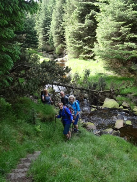
In Lady Clough
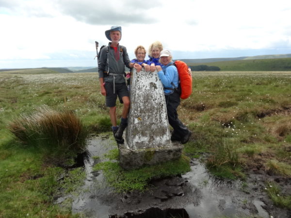
At Alport trig
Report on Borrowdale meet 26-29 May 2017
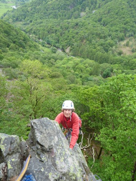
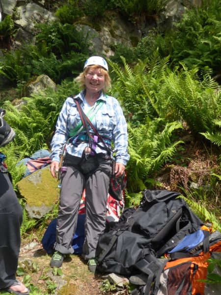
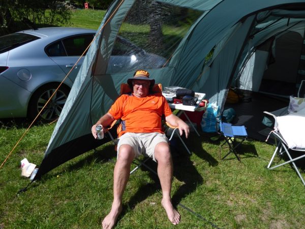
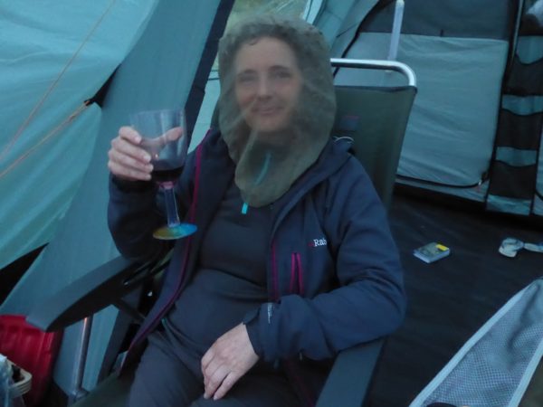
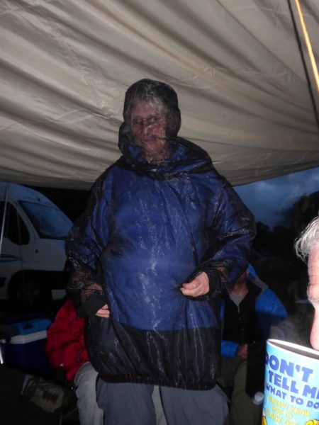
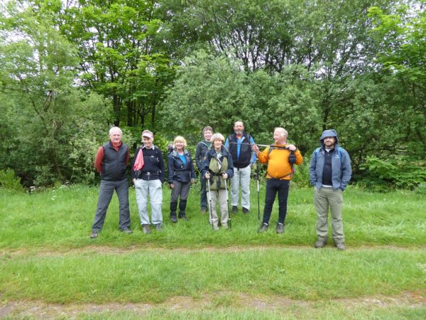
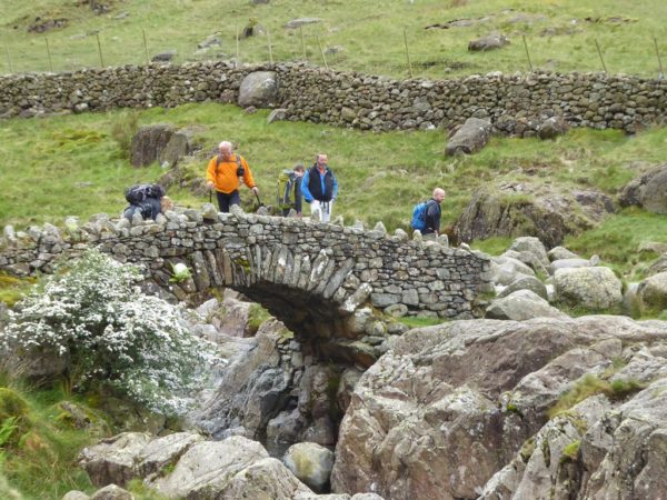
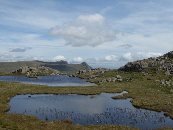
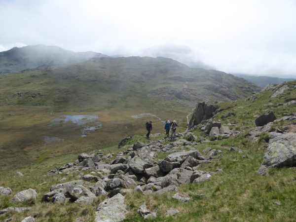
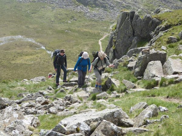
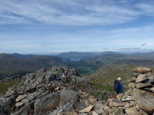
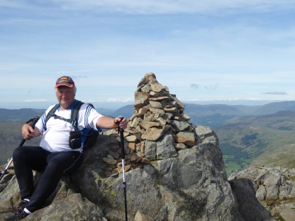
Due to some non-communication and confusion between the campsite owner couple, we ended up pitching our tents on a delightful and flat area of their campsite, conveniently close to the facilities and a handy stream for cooling beer, rather than her chosen reserved area for us on a distant slope. Having put up our tent in 27 degrees C, the easy decision was made not to go climbing that afternoon, but to flop and act as a welcoming committee for other members arriving later. As requested, those on their own had brought tiny tents, but the meet leader and partner felt justified in their rather palatial 5-man tent with extension [and later an added awning] which provided warmth and protection from the rain for the BBQ on the following evening. Saturday dawned, and whilst two had a relaxing day, ending up watching boats at the seaside, six went climbing at Bowderstone Crag, with a four person ascent of the classic Bowderstone Pinnacle climb, and all six ending up at the Pinnacle itself. Typically the way off was not obvious, so while two abseiled back down the route just climbed, Leon coordinated an abseil for the rest, using a handy tree with abandoned ‘tat’, and the most recent member Ben was volunteered for the first descent to handily clear the jungle canopy for those following. Discussion over lunch at the bottom, of which climb to tackle next, was curtailed by some rain and the rumble of thunder, so no-one disagreed that cold drinks in the nearest pub was the best option. Then it was back to the campsite for the planned BBQ. This was a protracted affair, with Chris H. and Pete offering conducted tours of their newly acquired camper-van, a fashion show of anti-midge garments provided by Paul, Helen, Nigel and Chris H. [definitely best in show!] and just when we thought the food was finishing, even more delicacies came from master-chef Nigel, including asparagus tips [ask someone who was there about ‘post-asparagus pongy pee’!] A misty Sunday morning suggested a low level walk [some went off to hunt for bothies and do some shopping] but once the seven of us had ascended above Seathwaite towards Sty Head, things improved dramatically, so we remained high and returned along the long ridge of Glaramara and Thornythwaite Fell with clear views in all directions. After seven hours and almost 10 miles of walking, Chris K. had pushed ahead in order to provide a much appreciated ‘medical rescue service’ for the last ½ mile on the road for a badly limping and very grateful Paul. Monday morning brought the expected rain showers, so most of us, deciding that the weekend was over, packed away our wet tents and headed for home, some via the shops of Keswick. Thank you to Paul, Mary, Chris K, Helen, Nigel, Leon, Ben, Chris H and Pete for your entertaining and excellent company [and to Chris and Pete for feeding me when I’d run out of food!]. Vanda Boyd
Birchen edge 14th May 2017 meet report
Perfect climbing weather, sun, breeze, and not cold until we were ready to leave. Got to car at 5pm to spots of rain, only Pat and Martin still at the crag, but they did arrive last!!
Great turn out, 25 of us swarmed up the routes, grumbling a bit about how the starts of routes seem to get harder as the soft ground at the bottom gets lower. Scout found a new dog, Molly, to have a mini fisticuffs with, and then went to sleep on the guide book- I have a great photo of the latter, but am useless at posting it!! Andrew turned up with a bad hangover, but the focus on leading soon got rid of that.
Colin and Nez, and Dawn, who we had met at Awesome walls on Friday all came. Dawn did her first rope climbing. Andrew sent Shane up Sail Buttress, and he sailed up it, but got quite a buzz too, well done!
Gordon T had a big fall, but was fine, just shaken not stirred, although he was seen on another route soon after. A couple from Ipswich saw our banner, and have just moved to Hathersage, so hopefully we will see them soon too.
Newcomers keen to climb on Froggatt on Wednesday, weather permitting , so maybe people can post if they are going and at what time. Colin can come earlier- from Nottingham, so he will know what time others might arrive?
Thanks for a great day out, ( and to Pat and Martin for a lovely meal later) , perfect, Linda and David.
Sunday walk report – 7th May 2017
We arrived at Edale station in good time, so an early coffee in the National Trust café was unanimously approved.
Alighting at Chinley we were greeted with warm sunshine, and we were soon climbing steeply up the slopes of Chinley Churn (451m). The path meandered through the site of a long disused quarry before emerging onto the airy summit ridge. The views were extensive under the clear skies. We descended past the interestingly named “Peep o’ Day” Farm before crossing the busy main road. A mid morning break was taken overlooking Coldwell Clough, and as we sat in the sun we were treated to a fly past by a noisy Cuckoo. The path then climbed gradually to the ancient Edale Cross. After joining the Pennine Way we took lunch under the rocks of Swine’s Back, before proceeding past the familiar landmarks of Noe Stool, Pym Chair and the Woolpacks. Before long we had reached the summit of Grindslow Knoll, where we sat admiring the views over Kinder Scout and down the Edale Valley. Our final descent into the village conveniently brought us to the front door of Ye Olde Nag’s Head, where we rounded off a super walk with some liquid refreshment.
Thanks to Marianne, Dave C. and Steve W. for their company over a very pleasant 10 miles.
Sean.
Muir of Inverey Report, Easter (14-17 Apr) 2017
11 members attended this meet over Easter at the comfortable Muir of Inverie Hut near Braemar which we shared with a party from the Glasgow section of the Red Rope-a convivial bunch.Initial concerns about inadequate numbers of beds were solved by making use of the 2 beds in the “members only” room.Fortunately no members of the owning Cairngorm club attended.
Some members arrived early enough on Friday to do some initial exploration-Steve W & Chris K ascending Morrone ,Braemar’s local peak.Mike D & Hugh D doing a walk from Mar Lodge over to Glen Quoich & back.
Saturday was an excellent day with sunshine ( mostly),snow showers and some wind-but not the forecasted gales.The group split into various parties .Steve W & 4 others did a 16.5 mile round over Lochnagar starting from the Balmoral estate.Sean J and others travelled towards Ballater to ascend the isolated Corbett Morven.The Smiths climbed Morrone while Geoff made it a full mountain day by cycling to Altamour Lodge for an ascent of Beinn Lutharn Mhor and many others !
Back in the hut the group enjoyed a group vegge chile washed down with a plentiful supply of alcohol.
Sunday was less sunny with a mixture of rain & snow showers,but no wind.The group again divided into different parties-many again returning to the Lochnagar area to tackle various Corbets & tops.The Smiths were surprised to find the main summit area had a fair covering of fesh snow which had fallen overnight.
Geoff set off by bike again to tackle Bein Chaorainn & Bein Bhreac.
Mike & Hugh abandoned an attempt on the Stuic ( grade 1 scramble) in quite steady rain and opted instead for the less taxing Carn na Drochaide and Carn na Criche near the Linn of Quoich with a descent of the “Fairy Glen” and a very long return via Glen Slugain .
Another convivial night at the hut followed,which was now less busy after the departure of the majority of the Red Rope party.
On Monday Steve,Mike & Hugh departed for home,but the others stayed on independently for various extra days they had booked independently.
A great meet in an area with so much to offer.
Mike D
Photos by Dave Crowther
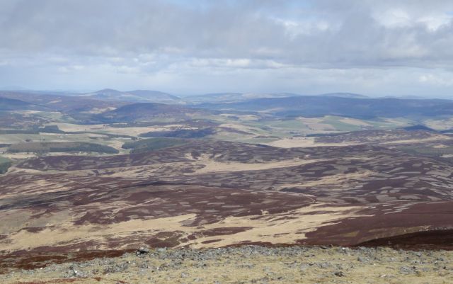
From top of Morven, looking NE
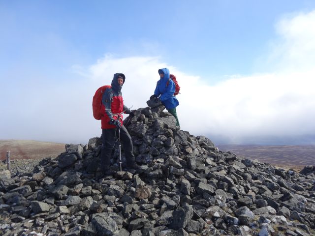 Top of Morven (Sean & Jo)
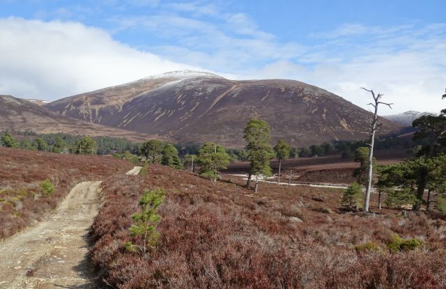
Glen Quoich
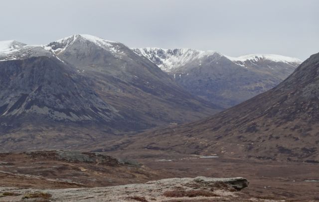
East end of Laraig Ghru from Sgor Mor
Photos by Mike Doyle
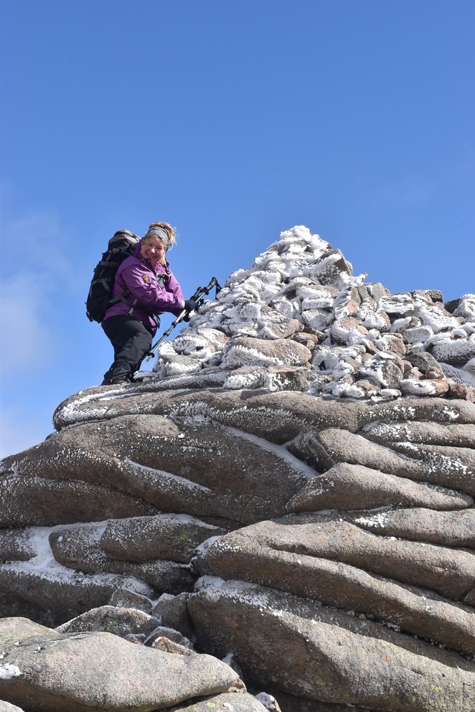
Chris Kell on Cac Carn Mor
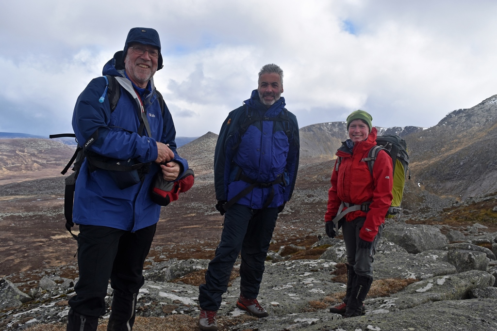
Summit party Meall Choire na Saobhaidhe
New members weekend report 23rd April 2017
The sunny weather made Stanage a joy to be climbing on. We set up base camp near Christmas crack/Garden wall area. Over the day, over 25 people attended, and lots of routes ascended from Diff to HVS. Good to welcome some new faces including one ex member , Chaz, who is planning to re join. New members from the last couple of years have shown excellent improvement in their leading, especially Ben, Gemma, and Julian. Thank you all for a really good day.
Ps We did get up Queersville at the end. I had forgotten just how reachy it is! See you all soon. Linda and David.
Thursday Walk 13th April 2017
11 us set off from Grindleford Station Café. We were very pleased to welcome Paul, joining us for his first Thursday walk and his seven year old Great Grand Daughter. Our ascent of Padley Gorge included an Easter Egg hunt where sufficient were discovered to
supply all. Deemed a great success especially for our young party member. Perhaps this could be a regular feature for future Easter walks?! Coffee break was taken just below Hathersage Moor Fort with a further mini egg hunt. We then climbed up to Higgar Tor before descending to Hathersage church for lunch via Toothill farm.
Our loo stop was courtesy of Outsides facilities, due to the public loos being closed. One of our number felt guilty enough to purchase some cake others expressing the view that previous purchases were more than sufficient to allow loo usage.
Our journey then took us along the river Derwent before crossing the railway line and back to the café where teas and “stickys” were devoured by some. A distance of 7.7 miles covered in fair weather and virtually no mud!
Thanks to all for your company and hope to see Paul again in the not too distant future.
Pete Hammond
Sunday 9th April 2017 climbing meet report
What wonderful weather we’ve brought back from Spain! 13 club members enjoyed the climbing at Lawrencefield. After doing sunny routes by the pond, gingerbread slab featured, a few went over to red wall and the roadside quarry area. Paul and Vanda got badly snarled up in marathon traffic, so were still climbing when most of us were leaving. Good to see Mary back on rock. Gave Julian his castle t shirt, who proudly wore it all day.!
Reminder, Yarncliffe on Tuesday Evening, not Wednesday as I was telling people!!!
Linda
