Home › Forums › Messages click here › Thurs Walk 7 Nov: Rivelin and Loxley Valleys
- This topic has 2 replies, 1 voice, and was last updated 7 months, 3 weeks ago by
 John Barnard.
-
AuthorPosts
-
November 4, 2024 at 2:07 pm #23296
 John BarnardParticipant
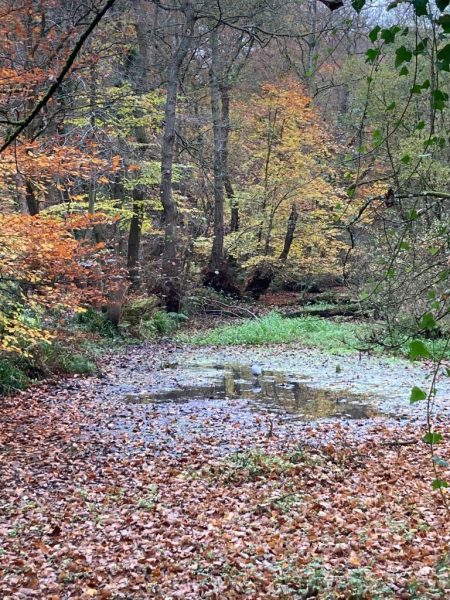
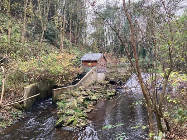
This week’s Thursday walk offers autumn colours (with a green tinge) and opportunities for bird-spotting and industrial archaeology, all in a semi-urban setting. Meet on Malin Bridge over the River Loxley at the junction of Stannington Road (B6076) and Holme Lane (opposite Lidl) for 11.0. We will walk up the wooded Rivelin Valley (herons and kingfishers have been seen) past the sites of old mill-wheels, cross over fields just above Stannington, and return down the Loxley Valley (where there is a recent Archimedes screw electricity generator) – 8 miles. Arrive by public transport: Blue line tram to Malin Bridge terminus every 12 mins, or buses 81 and 82. An 82 from Dore via town is due about 1045 and an 81 from Millhouses via town about 1055. Several other buses (18, 31, 52, 57, 58, 59, 97, 98) and the Yellow route tram also serve Hillsborough (1/2 mile along Holme Lane). If you must come by car, there is a (free) Park and Ride carpark on Holme Lane (often quite full), or parking at the bottom of Rivelin Valley Road A6101 (do not obstruct fire station). Several tea/coffee shops available in Hillsborough for afterwards.
JB (07985 465330)November 4, 2024 at 4:26 pm #23299 John BarnardParticipant
Grid ref for start point: SK 325894 (not actually on my Dark Peak Outdoor Leisure 1:25k map, but on Landranger sheet 110). Postcode for the Lidl is S6 5FL
November 8, 2024 at 4:03 pm #23308 John BarnardParticipant
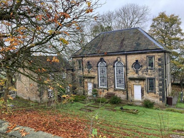
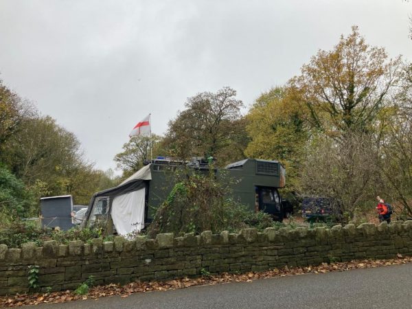
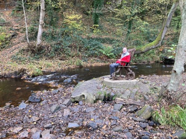
Seven of us met at Malin Bridge, and though only two had arrived by public transport. there had been some car-sharing. The weather stayed dry for us, but autumnal sunshine was definitely lacking as we headed up the Rivelin valley, spotting a couple of herons and the remains of various mill wheels (many with notices about their history and QR code links to the Rivelin Valley Conservation Group’s website at https://rivelinvalley.org.uk/rivelin-trails-2/) on the way. The meet leader found a chair that was high enough for his legs. We took coffee on a fallen tree before reaching the car park at the old Rivelin Post Office, where some camper vans and a tent seemed to have taken up residence. After a very short section on the A57 we headed up a farm track and across fields to cross the Riggs High Road above Stannington and start our descent into the Loxley valley. The graveyard of the historic Underbank Chapel provided a couple of benches for a slightly belated lunch stop, though one of the benches (probably no longer retaining its youthful strength) untimately proved unequal to the task of supporting the weight of three CMC members. From here we headed down to follow the Load Brook past Stoneface Creative (a sort of mini Yorkshire Sculpture Park, and well worth another visit some time) to Rowell Bridge, where it joins the Loxley. The track down the Loxley valley is not as attractive as that up the Rivelin, and the main feature of interest is the archimedes screw generator which harnesses the river’s flow to provide electricity to a house on the southern bank. As the environment grew more built up we passed round the back of the Loxley Park Care Home to rejoin the traffic and the recently-released pupils of Forge Valley School near the watersmeet of the Rivelin and Loxley rivers. Many thanks to all who came, and to Bron for her photos now on the CMC Walking WhatsApp group. JB
Bron’s pics
-
AuthorPosts
- You must be logged in to reply to this topic.

