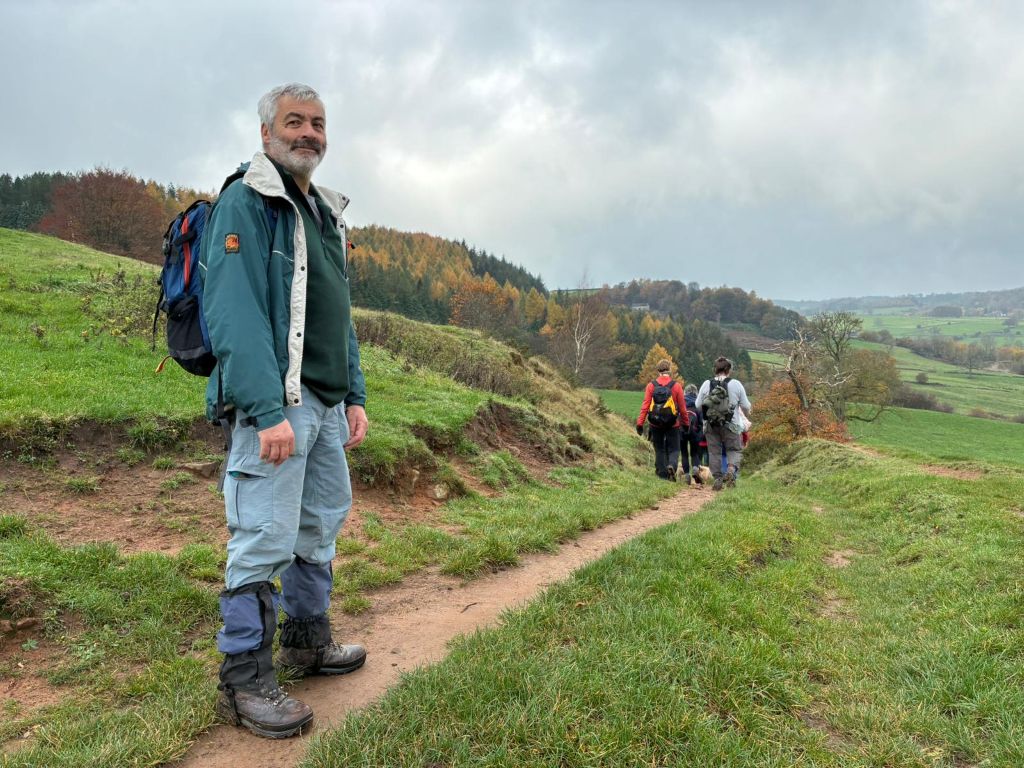
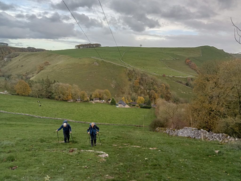
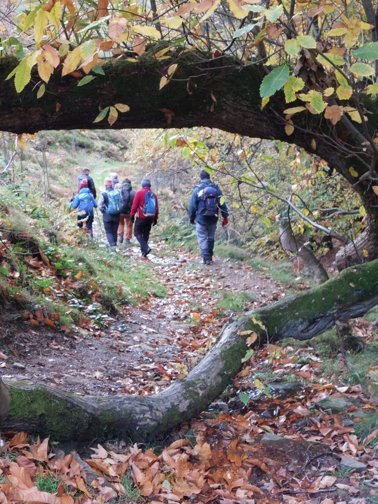
5 members set out from Litton in crisp and clear conditions with temperatures well below freezing.
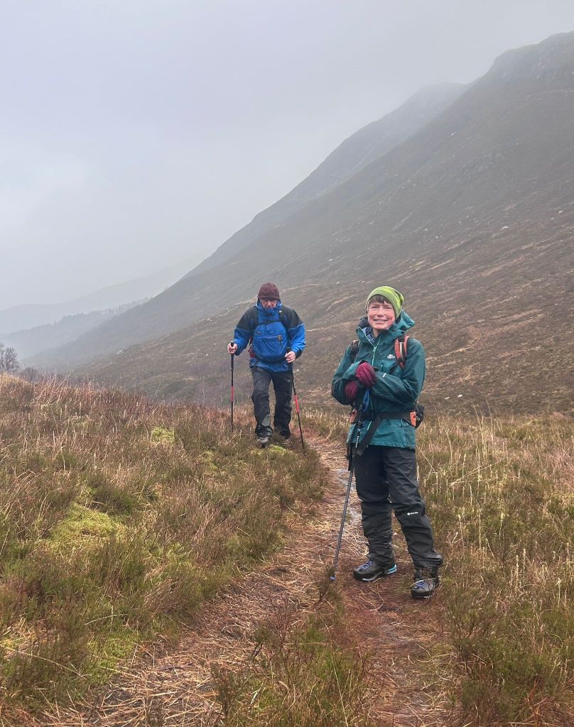
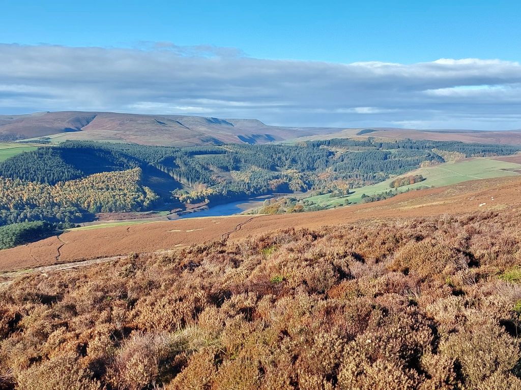
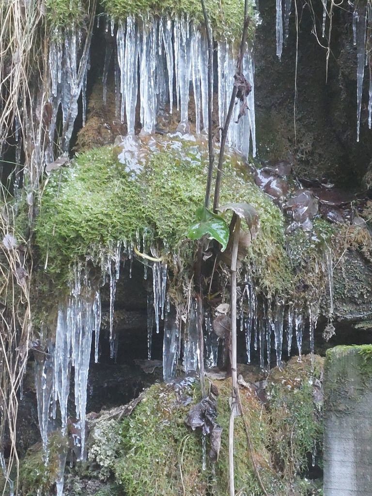
Descending Tideswell Dale we were soon into Miller’s Dale admiring fantastic scenery-the normal rather muddy sections of the path now frozen hard.
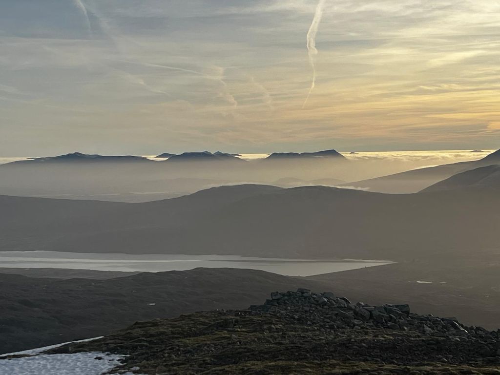
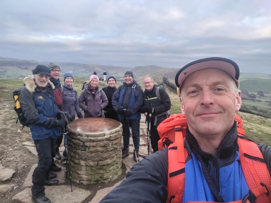
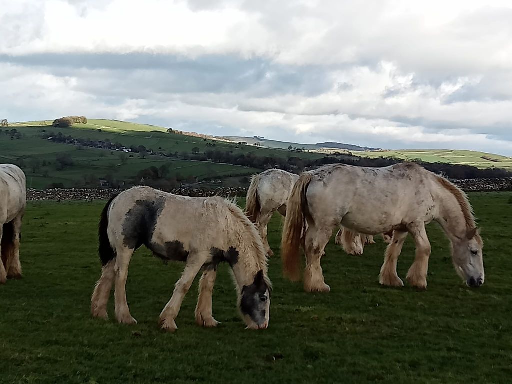
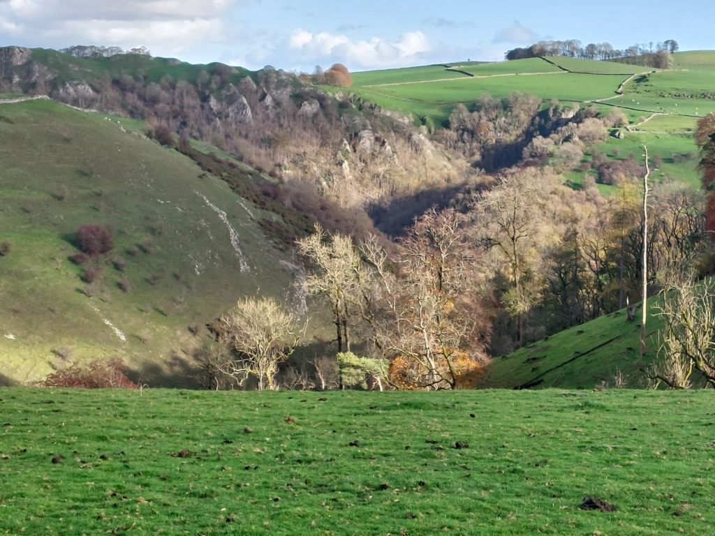
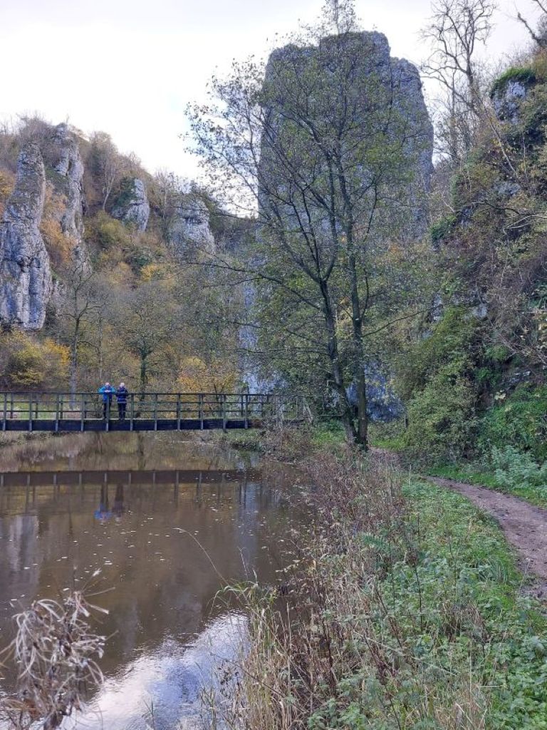
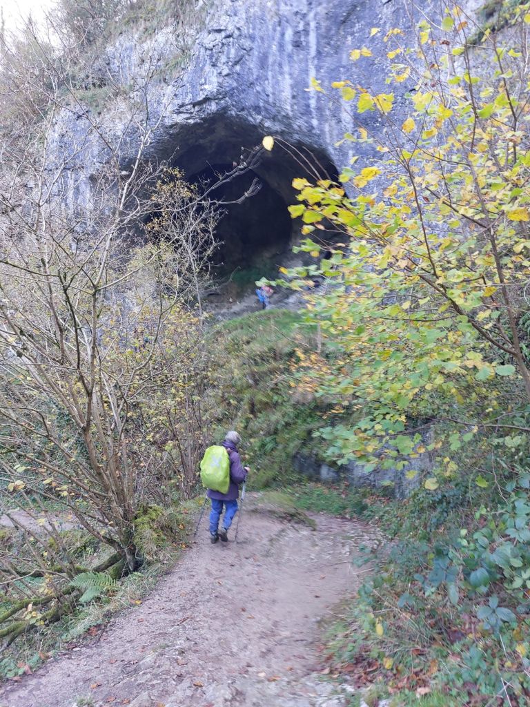
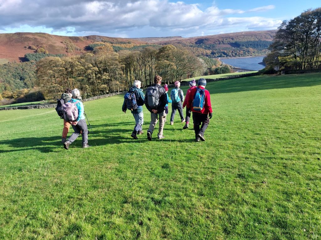
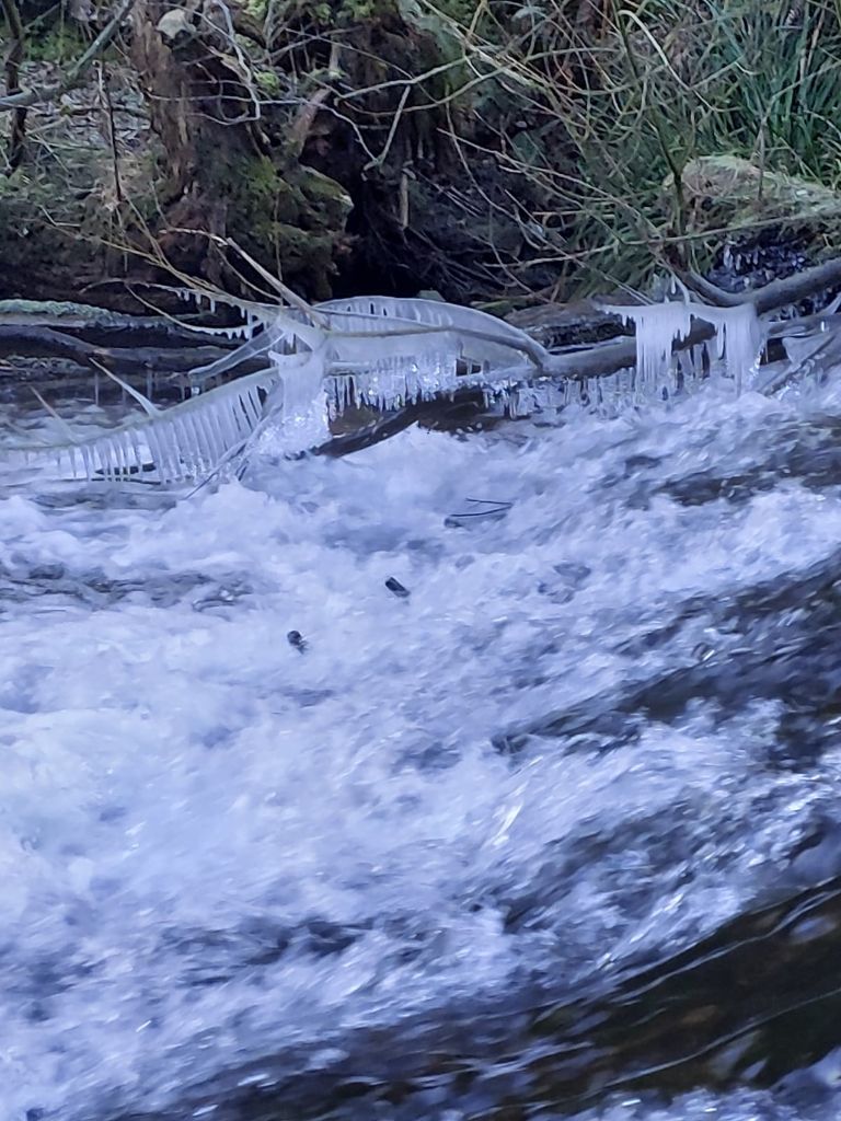
Passing Water-cum-Jolley in welcoming sunshine we continued to the Monsal Trail and the Monsal Head viaduct.Once through the tunnel we stopped for lunch in the sunshine on an elevated area shortly before Little Longstone.Here we noticed a large black cloud ahead.
Lunch over we pressed on through Little Longstone and on to Longstone Moor.The blue skies had by now disappeared.Light falling snow welcomed us as we left the moor and descended to Hay Dale.
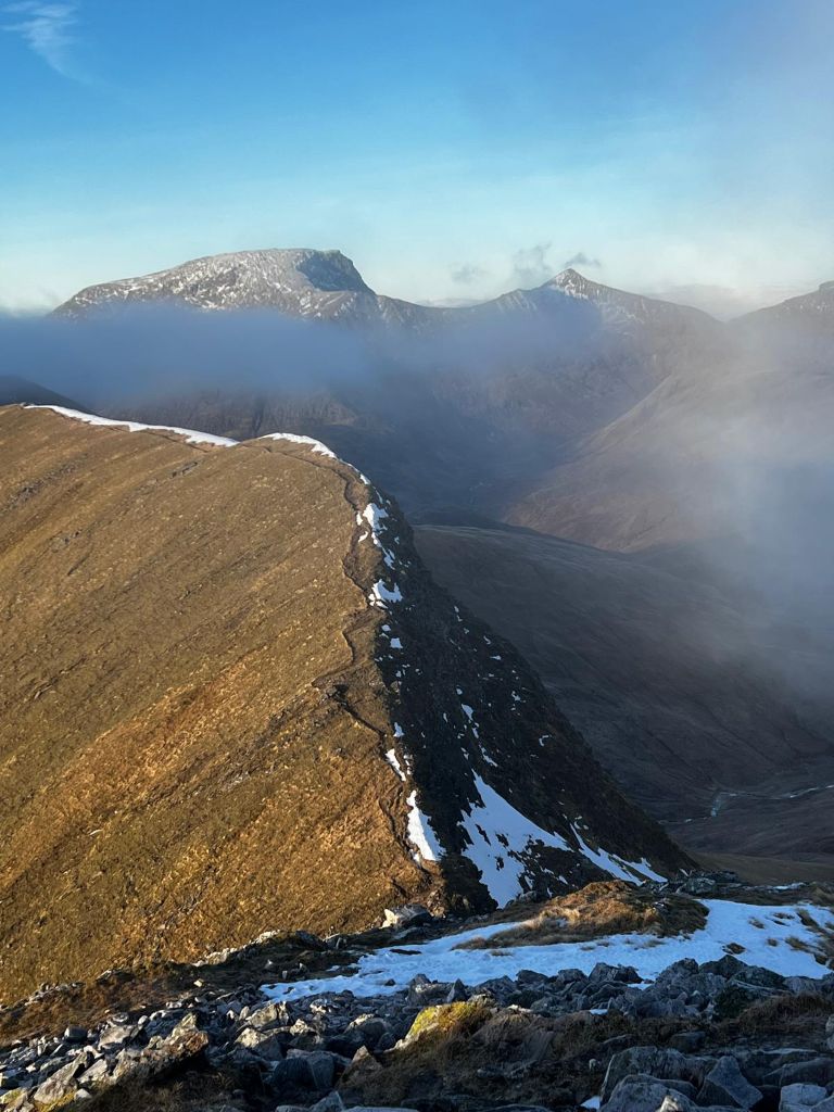
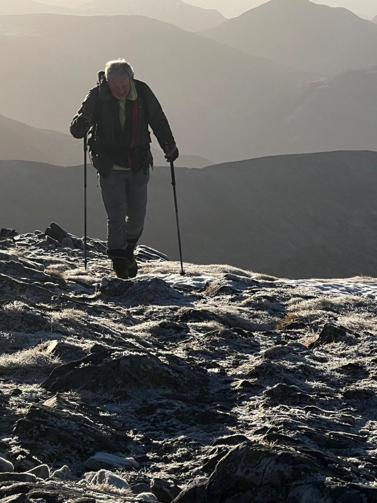
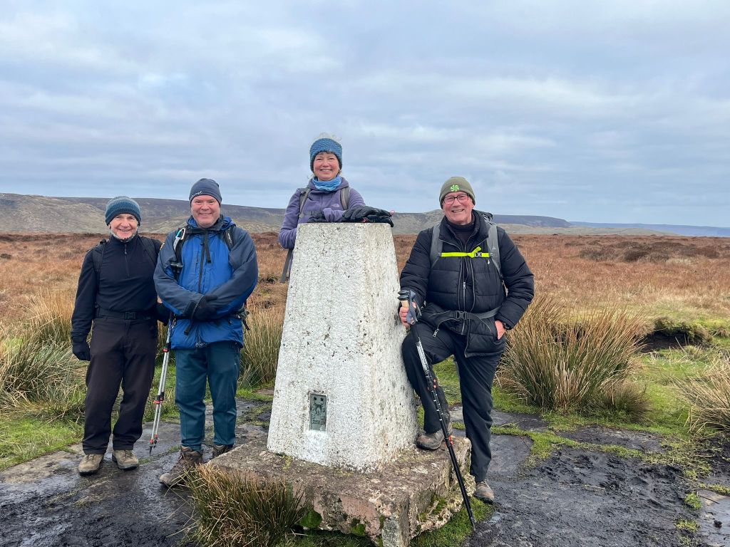
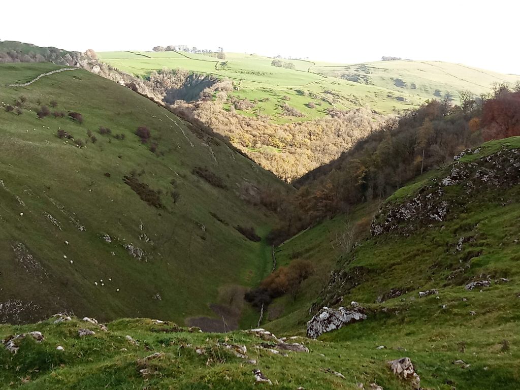
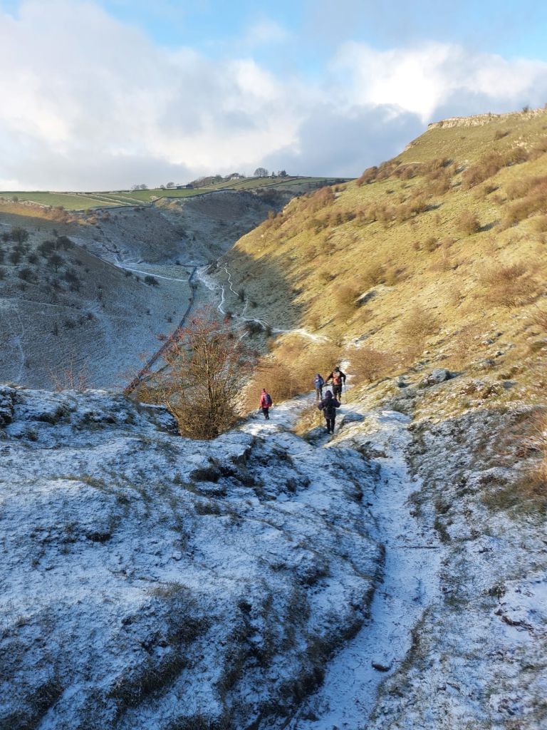
The steady ascent to Wardlow Hay Cop followed with no break in the snow- causing the frozen path to become slippery. As we approached the summit,however, the clear skies returned.The meet leader took the opportunity to fit spkes to his boots to help with the descent to Cressbrook Dale.
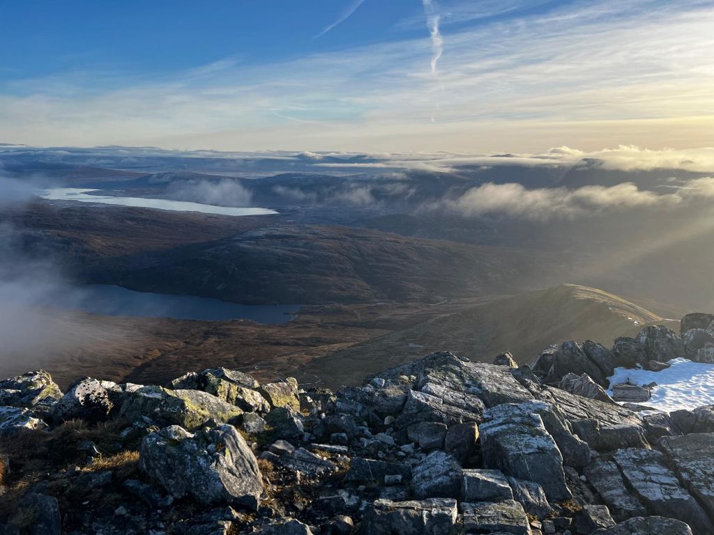
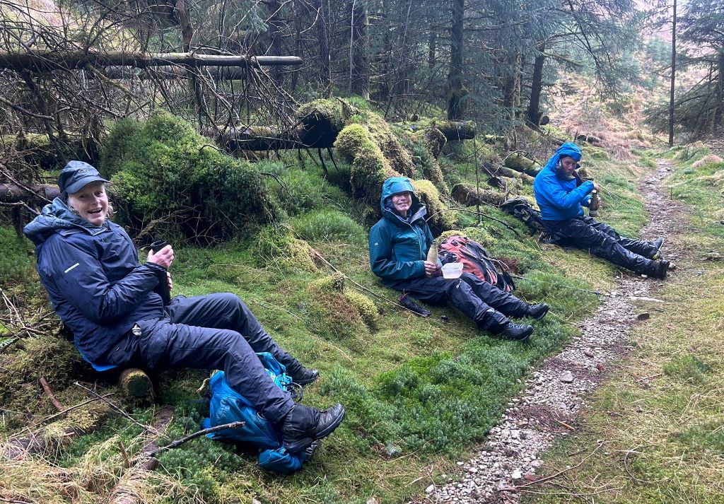
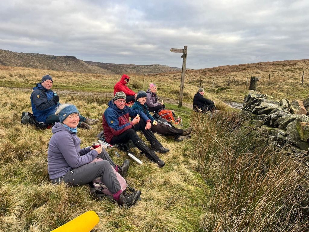
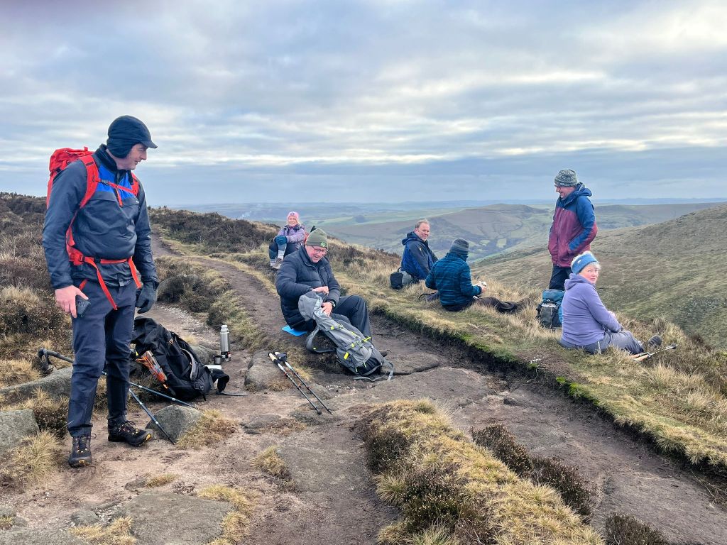
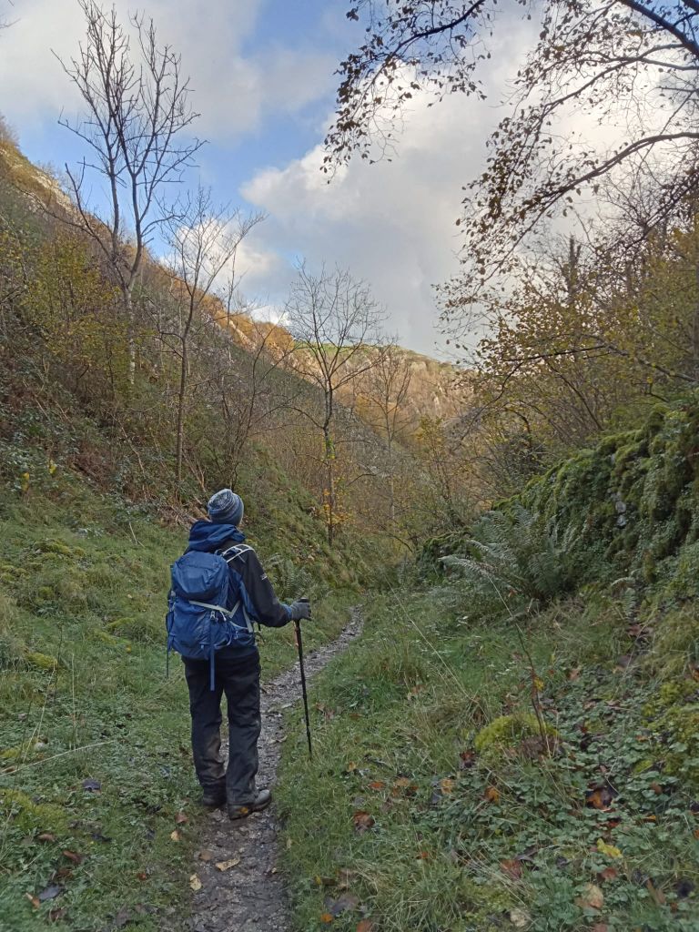
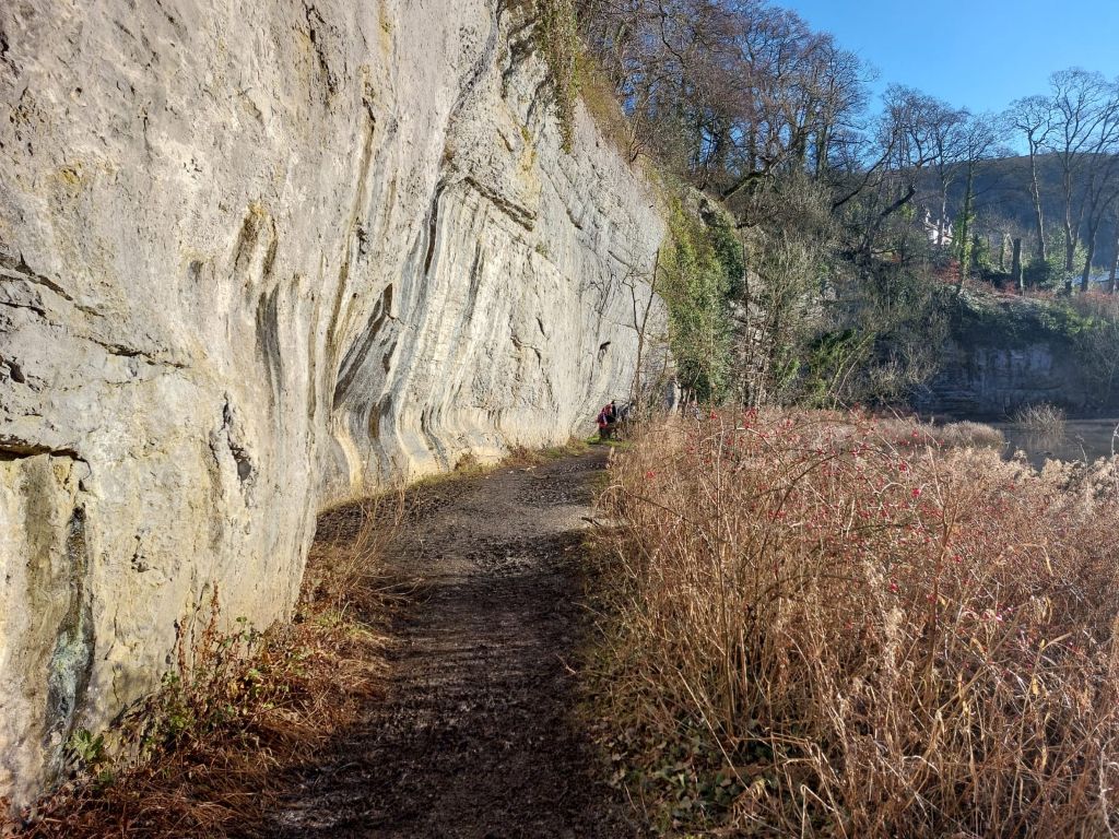
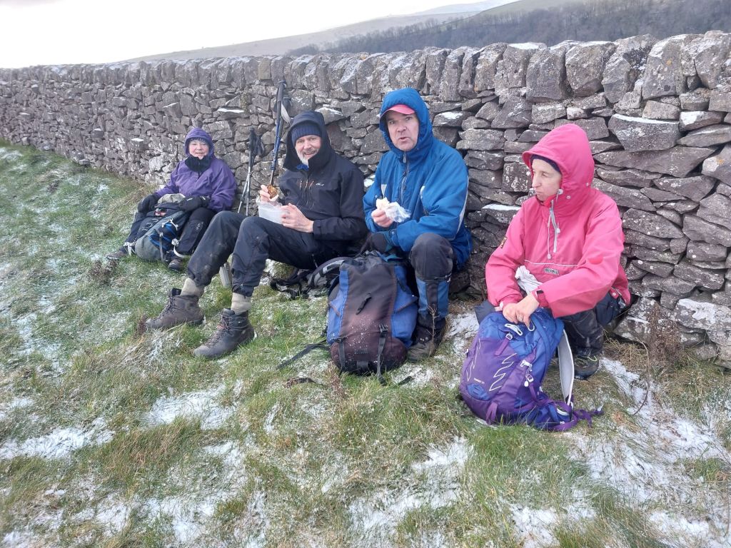
After a brief stop for coffee and snacks while sheltered from the wind by a field wall,we continued with the descent to Cressbrook Dale and then onwards up Tansley Dale and back to Litton.
A pleasant winter walk (just under 10 miles ) in this spectacular part of the Peak District.
Thanks to those who came.
Mike D
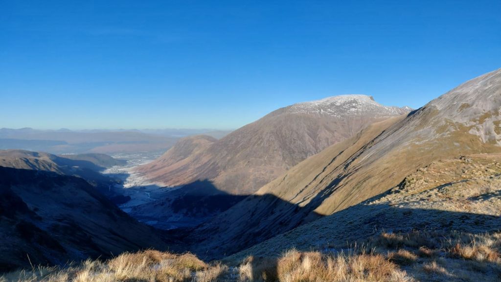
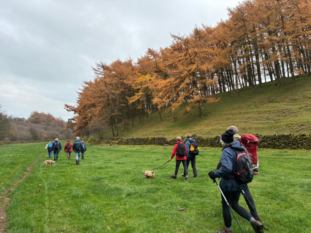
Water-cum-Jolly
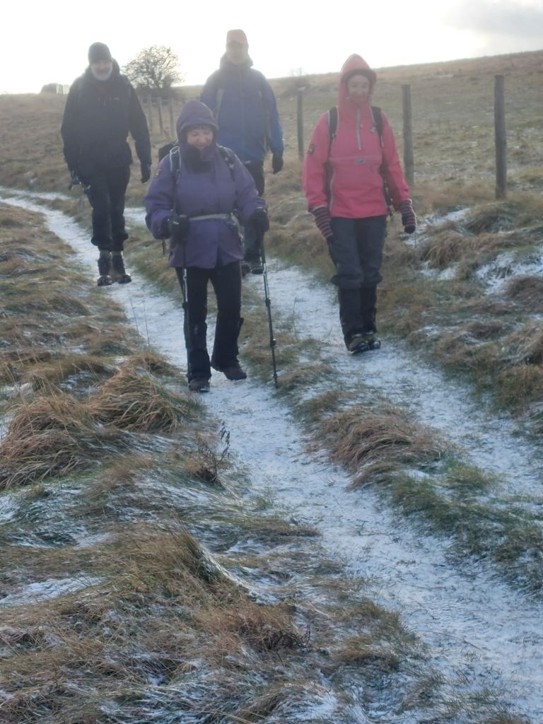
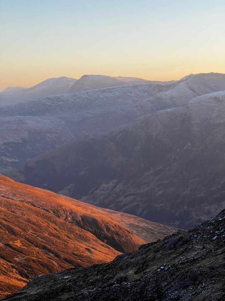
Caught in a snow storm
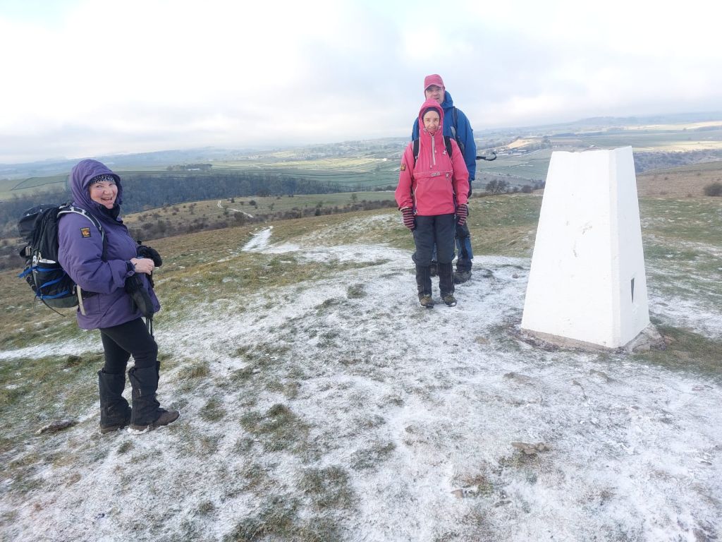
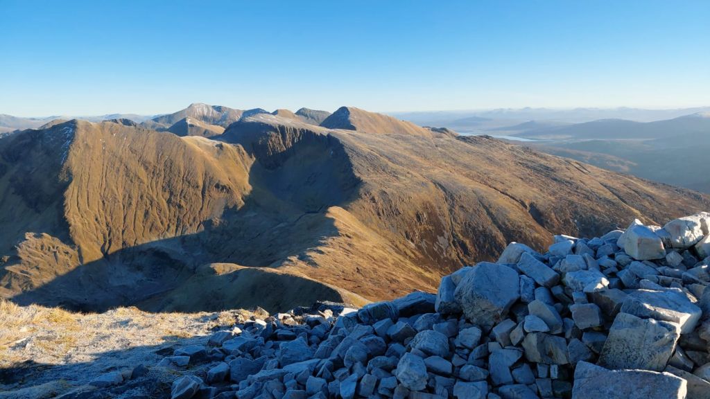
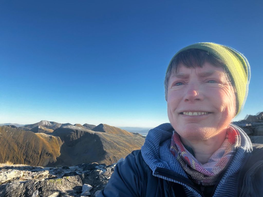
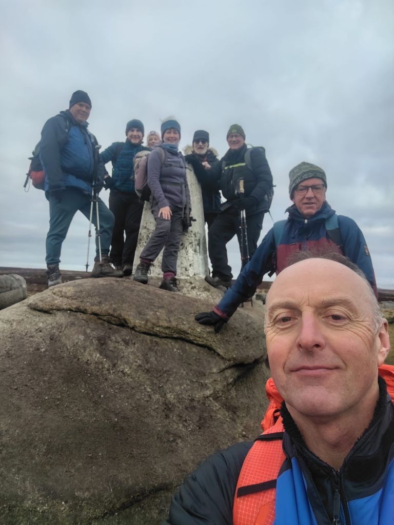
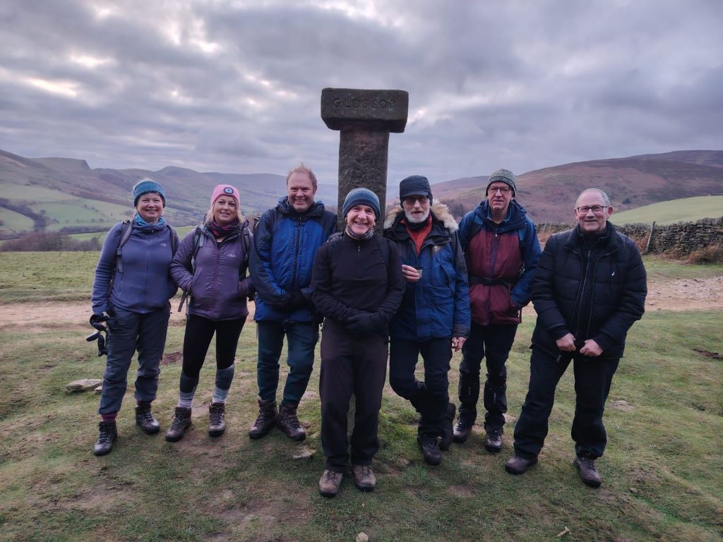
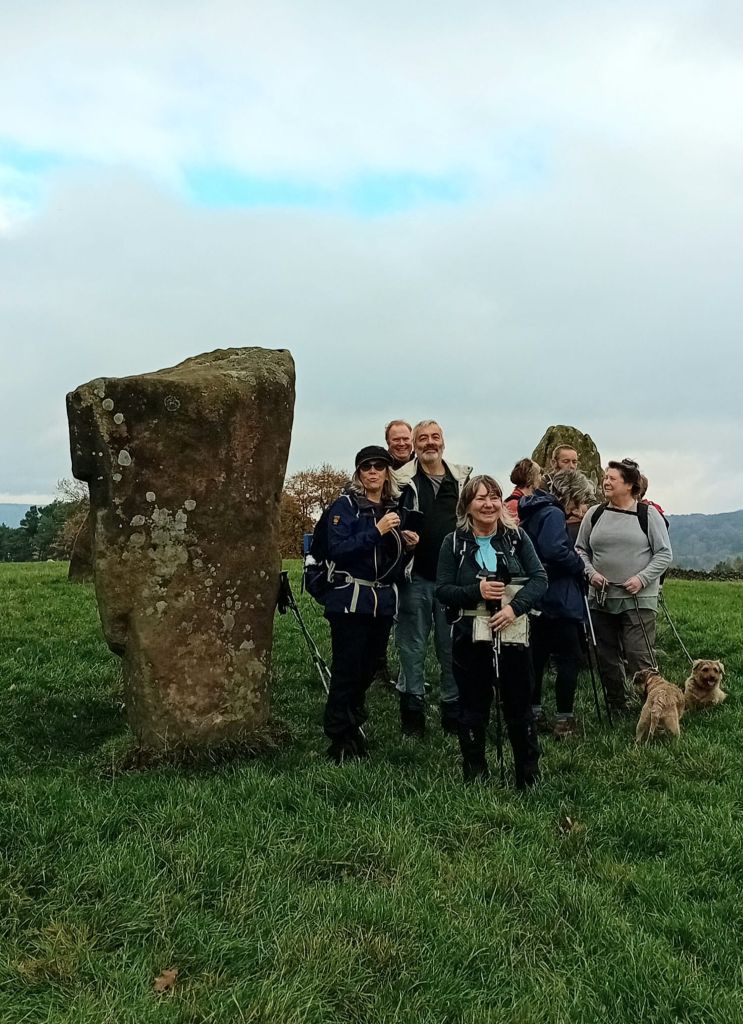
Summit of Wardlow Hay Cop
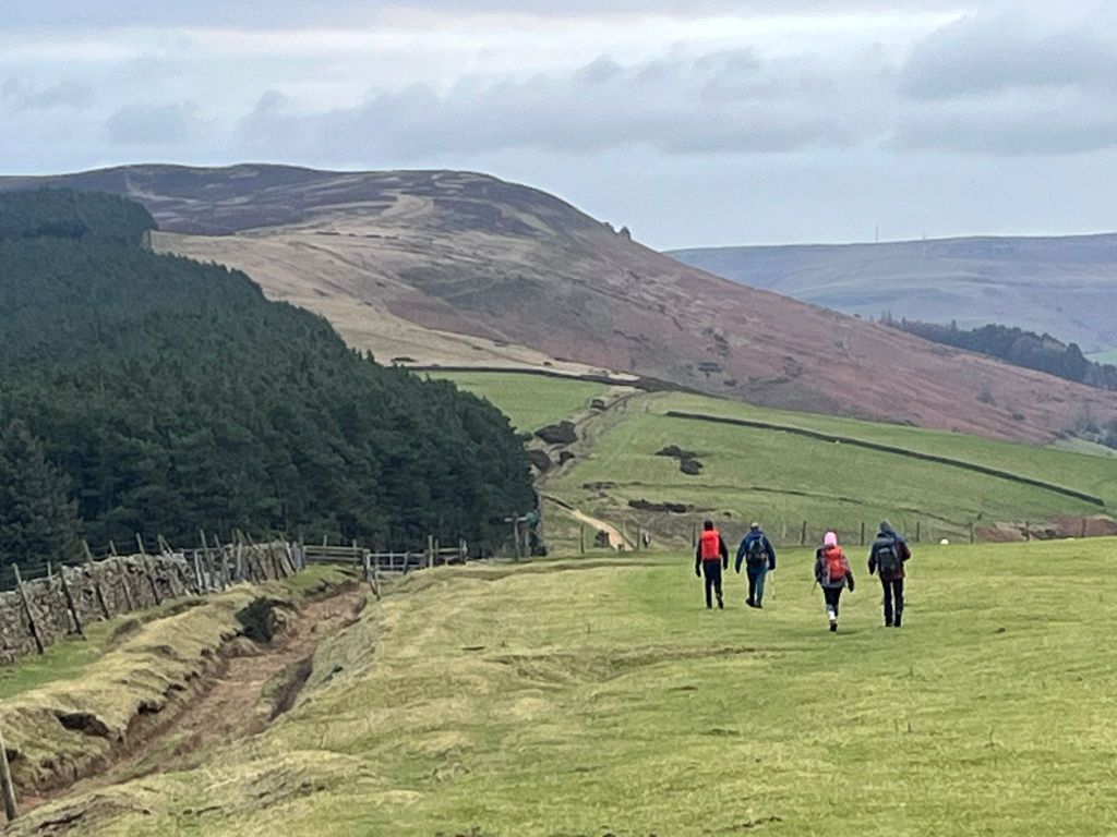
Descent to Cressbrook Dale